Prague, Czech Republic Travel Guide
About Getting Around Attractions Hotels Eats & Nightlife Essentials & Practicals
Prague Metro System Lines & Maps

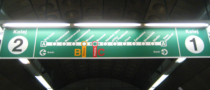
Signs to help navigate the Prague metro
MAPS & LINES
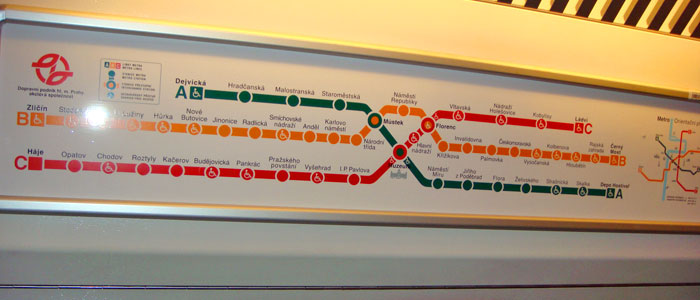
The metro lines, like in Frankfurt and Madrid, are color-coded and are assigned numbers. Luckily, there are only three different lines to choose from and to make connections. The line you take depends on the end destinations or points of those lines. The signs hang above the platforms and are clear once you get the destination points down and the electronic monitors are easy to read as well. The incoming and outbound metros and stops are announced in the platform areas as well as inside the metros themselves. In addition, there are metro line maps inside the metros to use as guides.

Metro lines map inside Prague metro
Prague 1 and 2 Stops – if you’re in Prague 1 in or near Wenceslas Square, Namesti Miru or Vinohradska areas, you’re just minutes away from accessible the accessible metro stops of Hlavni Nadrazi (Line C) and Muzeum (Line A and C).

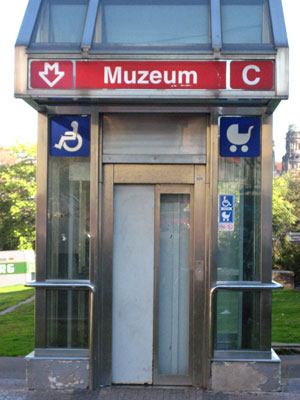
Museum stop and elevator in Prague
ELEVATORS, LIFTS
The metro stops with lifts are situated at the ends of the metro stop platforms. Look for the elevators or lifts – Vytahs – signs.
Note: there are two elevators/lifts at the Muzeum stop. One stop is on the island divider which separates Wilsonova and Washingtonova. These streets run parallel north and south. The lift on the divider takes you down to Metro lines B and C. The other elevator/lift is located on the north end of the Museum along the north pathway. This will get you to Metro line A and C.
These lines have handicap designation symbols, indicating elevators:
Line A: Northwest to Southeast. Dejvicka, Muzeum, Strasnicka, Skalka
Line B: Southwest to Northeast. Zlicin, Stodulky, Luka, Luziny, Horka, Nove Butovice, Vysocanska, Kolbenova, Hloubetin, Rajska Zahrada, Cerny Most
Line C: South to North. Haje, Opatov, Chodov, Roztyly, Budejovicka, Pankrac, Vysehrad, Muzeum, Hlavni Nadrazi, Vltavska, Holesovice, Kobylisy, Ladvi

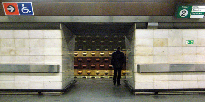
Inside the Museum metro station on Wilsonova, Prague